
Phase I Environmental Site Assessments
The Phase I Environmental Site Assessment is typically utilized for residential or commercially zoned sites that currently utilize hazardous materials or for clients who wish to avoid environmental liability through the “Innocent Landowner Defense.”
ASTM/AAI Phase I
Basics provides the environmental due diligence you can always rely on.
The ASTM/AAI Phase I Environmental Site Assessment scope of work typically involves the following:
-
Environmental Database Search
Basics environmental professionals will obtain and review publicly available information maintained by various federal, state, and local governmental agencies with administer environmental regulations, including records of known or potentially contaminated and/or problem sites, landfills, and other disposal sites, and underground storage tank records (for both leaking and registered USTs).
-
Historical Research
In addition to the historical research performed as part of an Environmental Transaction Screen, the Basics environmental professionals will obtain and interpret at least one reasonably ascertainable historical resource within specific time frames (typically every five to ten years). Historical research of the property and the surrounding properties typically extend far back as the 1940s or with first development of the property.
-
Site Reconnaissance
Basics environmental professionals will perform a visual inspection of the site noting number of buildings, approximate size of buildings’ footprints, number of stories each, approximate age of buildings, occupancy status, pavement, fences, foundation/ruins, utilities, and ancillary structures in order to discover evidence of the presence or likely presence of impacts or other environmental problems on the subject property. In addition, visual inspection of adjacent sites will be made from the subject site and/or from access roads, as appropriate for the assessment of the property. At a minimum, Basics environmental professionals will walk the perimeter boundary of the property, each side of the drainage pathways, the boundaries of all on-site bodies of water, and a grid pattern for remaining exterior areas (including overgrown or wooded areas). For the interior of the structures on the property, environmental professionals will, at a minimum, visually inspect accessible common areas expected to be used by occupants or the public (e.g., lobbies and hallways), maintenance and repair areas (e.g., boiler rooms), and a representative sample of occupant spaces. The visual inspection will consider past and present use(s) of the property that may adversely impact the soil and/or ground water.
-
Interviews
Basics environmental professionals will interview easily accessible site contacts (property/site managers, environmental managers, real estate agents, local personnel, etc.) with knowledge of the current and past uses and physical characteristics of the property.
-
Local Regulatory Agency File Review
Basics conducts reviews of local enforcing agency personnel and files (e.g., for Regional Water Quality Control Board, County Department of Environmental Health, local fire and building departments, etc.), where reasonably available and to the extent necessary, to identify sites with “known” or “potential” contamination and “environmentally sensitive business activities” on or adjacent and/or “perceived” up-gradient of subject properties.
The files will be reviewed to determine:
- If the identified known or potential properties are listed on the regulatory databases;
- If there are any issued environmental permits;
- If there have been any notice of violations;
- If any corrective actions have been taken;
- If there have been any complaints;
- If there have been any environmental investigations; and
- If there is any other pertinent environmental information.
-
Physical Setting Evaluation
Basics environmental professionals will obtain, where reasonably available, site geological information. Data may be obtained from available topographic elevation maps, soil lithology maps, surficial geological maps, bedrock geology maps, and ground-water maps.
-
Summarizing Report
This phase of the assessment concludes with a report describing the results of the historical review, site visit, database records evaluation and local regulatory agency file review. In addition, site topographical location maps, site layout representative maps, representative site photographs, and any other relevant information will be included.
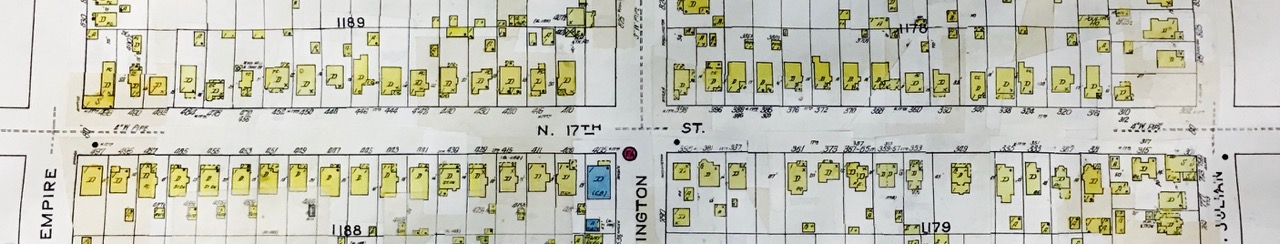
Sanborn Fire Insurance Map™ at San Jose Public Library